BLOGS
Alternate Routes To Baguio: Full Guide
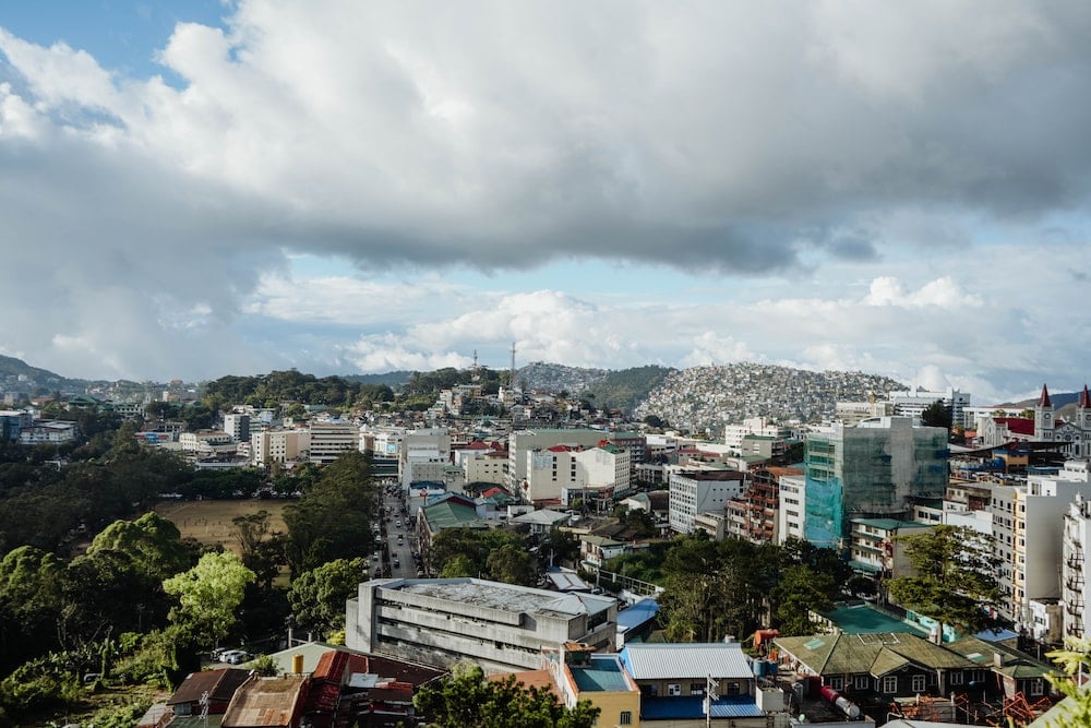
The City of Pines is accessible by land and by air, and it is located in the heart of stunning and breath-taking mountains, hills, and valleys. The City of Pines is about 240 kilometers from Manila, the capital city of the Philippines, and serves as the gateway to the natural and cultural wonders of the Cordillera Region.
Alternate Routes & Detours to Baguio City
There are numerous alternate routes to Baguio if you’re wondering what the quickest path is.
The fastest way to go to Baguio City from Manila is by one of the major highways, which greatly reduces the amount of time and effort required to appreciate and take in the sights of the eagerly anticipated vacation escapade.
One of the main access route to Baguio City is Kennon Road. It offers a 33.7 kilometer overall shortest route between Rosario and Baguio City. In the municipality of Rosario, La Union, it begins at the intersection with Manila North Road and finishes at a roundabout where Marcos Highway and Governor Pack Road converge.
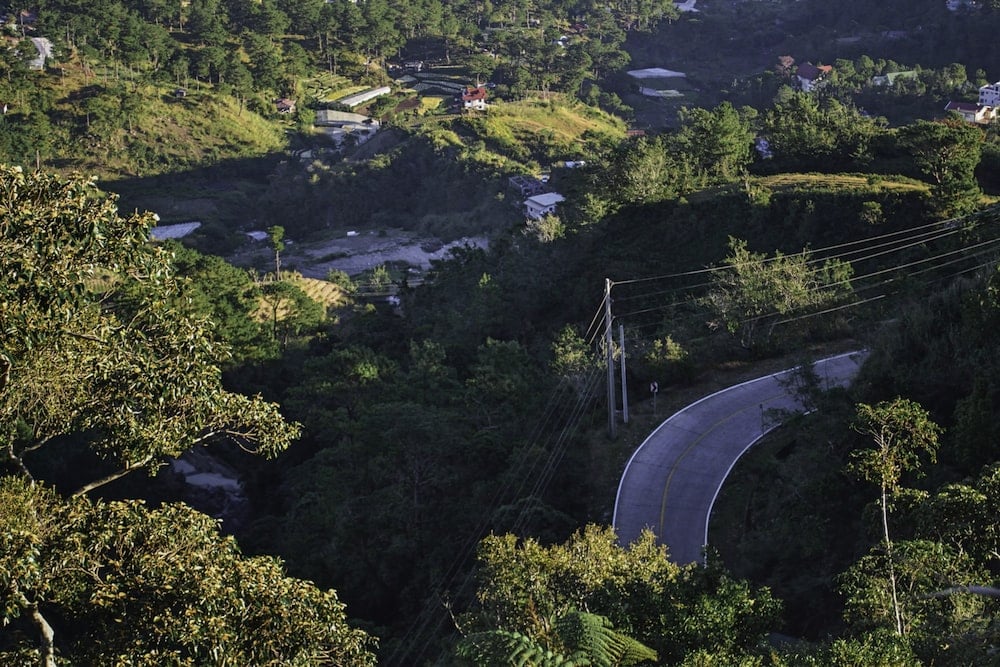
The South China Sea can be seen from the Marcos Highway, which recently underwent some renovations and now has a shortcut entrance just a few hundred meters further north from the Kennon Road Junction in Rosario, La Union, as opposed to continuing to the original entry point at Agoo, La Union, or the alternate one further up in Pugo. Kennon is taller, but Marcos is wider, smoother, and “all-weather.”
The Naguilian Road, also known as the “Quirino Highway,” enters La Union at the equally interesting Bauang. Most travelers of all types frequently choose this route because it is the best one, especially backpackers and couples who are also seeing other Northern regions of the Philippines.
-
Baguio – Nueva Vizcaya Road
This is the access road from Aritao in Nueva Vizcaya to Benguet. Therefore, for people who came from other provinces, ideally in the eastern portion of the Philippine archipelago, this is currently the most recent and accessible path.
This is the alternate route that will safely get you to Baguio. You must cross through La Trinidad Valley in order to locate this route. Then, as you make your way to this attractive tourist destination, you must gently inquire about additional crucial details.
-
TPLEX (Tarlac – Pangasinan – La Union Expressway)
TPLEX is an 89.21-kilometer (55.43-mile), four-lane expressway connecting cities and provinces in Central and Northern Luzon, Philippines, is now open and allows for travel to Baguio from Manila in less than three hours travel time.
If you decide against taking, or actually fail to take, the SCTEX (Exit 85 at the NLEX), you can still leave the NLEX at Sta. Ines. You will then have two choices on how to get to McArthur Highway:
(1) Travel to Baguio City the classic route by turning right onto Mabalacat, continuing a short distance via a congested residential street, and then turning right onto McArthur Highway once more.
(2) Another option is to turn left and go up a flyover to the Mabalacat-Magalang-Concepcion Road, which is longer but less congested and enters the McArthur Highway in Tarlac City at the Concepcion-Capas Junction. Turn right at the Capas Caltex Gas Station when you reach the end of this route to access McArthur Highway.
By using this detour, one can avoid the congested towns of Mabalacat, Bamban in Pampanga, and Capas in Tarlac and travel on a longer circumferential road with less traffic.
Once on McArthur Highway, continue to go north in a straight line until you reach the beginning of Kennon Road or Marcos Highway.
You can come across detour signs indicating that Baguio lies to the east near the municipalities of Carmen and Villasis in the province of Pangasinan. On occasion, they say “ALTERNATE ROUTE TO BAGUIO.”
These detours are made so that you can only avoid Urdaneta City, which is known for “trapping” northbound drivers on the national highway. As a result of the bottleneck created by their commercial activities along the road, the public has been calling for the construction of a flyover along the highway.
Baguio City is directly ahead and obviously not to the east. You can avoid the traffic in Urdaneta City caused by the heavy traffic of vehicles and pedestrians, and you can avoid the traffic caused by their local traffic management, which typically gives priority to those crossing the main highway from East to West (Asingan-Dagupan), greatly delaying those traveling north to south toward the City of Pines.
Only take this detour if you want to see some rice fields throughout the day and are not in a huge rush to get to Baguio City. If you decide to take this route, always keep an eye out for signs pointing in the direction of McArthur Highway.
Kennon Road or Marcos Highway?
What’s the best way to take if you live in Manila and want to travel to Baguio soon? The Jose D. Aspiras Highway, also referred to as the Marcos Highway, or Kennon Road?
Kennon Road
The historic Kennon Road is the quickest way leading to Baguio City, which only costs Php15 for cars to cross.
One will pass by numerous waterfalls, pine forests, and mountain sides covered in wild sunflowers as it winds through Bued River Canyon.
Kennon Road, however, is somewhat unpredictable, especially during the rainy season, because a century’s worth of intensive mining has stripped some of the neighboring mountains of their ground cover and pine trees, creating land and rock falls.
Because of its gradual turns, the route is narrow but manageable. Since you can turn onto Loakan Road at Camp 7 as a detour to enter Baguio City if your car is deemed to be “underpowered,” I advise taking Kennon Road.
Marcos Highway
The South China Sea can be seen from the Marcos Highway, which recently underwent some renovations and now has a shortcut entrance just a few hundred meters further north from the Kennon Road Junction in Rosario, La Union, as opposed to continuing to the original entry point at Agoo, La Union, or the alternate one further up in Pugo.
Although Marcos is longer than Kennon and smoother, wider, and “all-weather,” it can sometimes enjoyable to pull over and pause for photos in the areas where the clouds are lower than Marcos Highway. However, in the afternoons, expect loads of fog.
Take the Marcos Highway, especially if you’re going to the city’s northwest side, which is about where Green Valley, Legarda Road, and Quezon Hill are located. Additionally, there is a shortcut from Marcos Highway that would take you straight to Asin Road or Naguilian Road without having to drive through the town center.
But because of an unavoidable and very steep climb, Marcos Highway requires a stronger engine than Kennon Road does, so if your car doesn’t have an issue there, Marcos Highway will provide you a pleasant trip up to the City of Pines.
It is recommend to take Marcos Highway because it is more reliable.

Let’s go to Baguio City
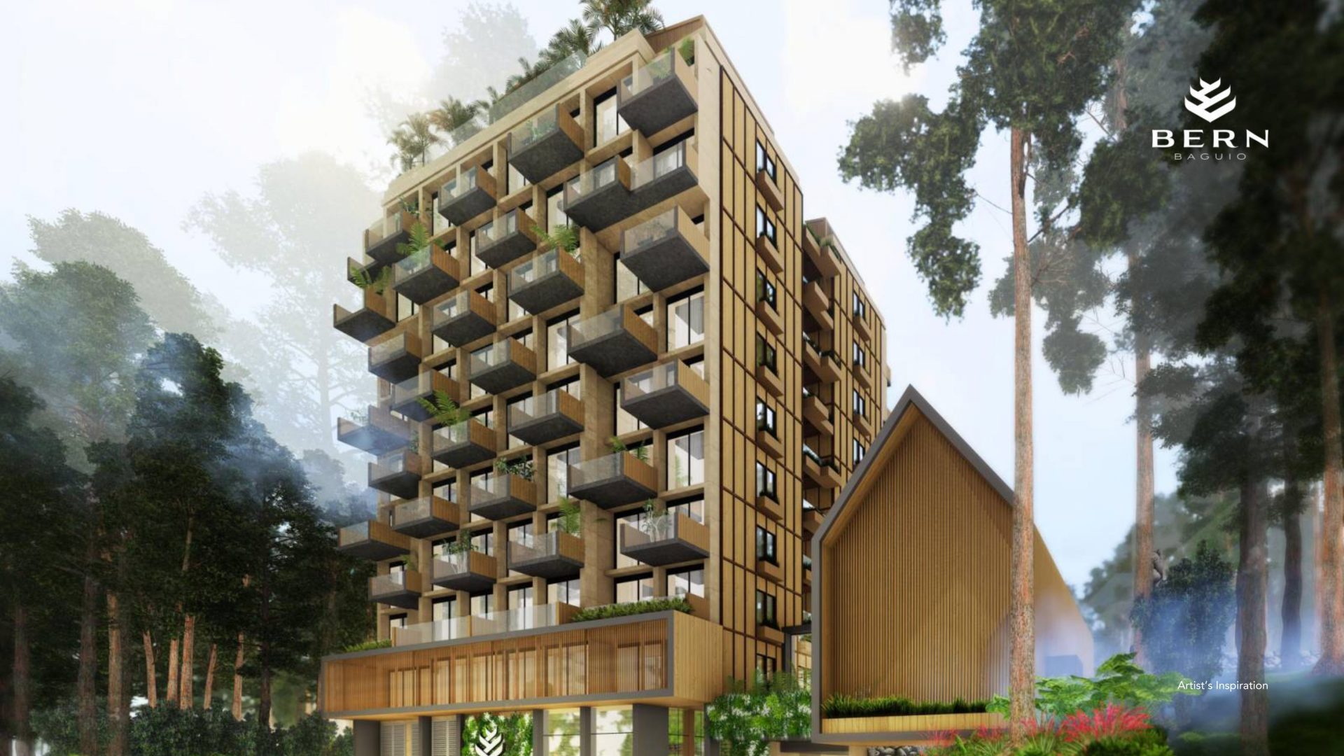
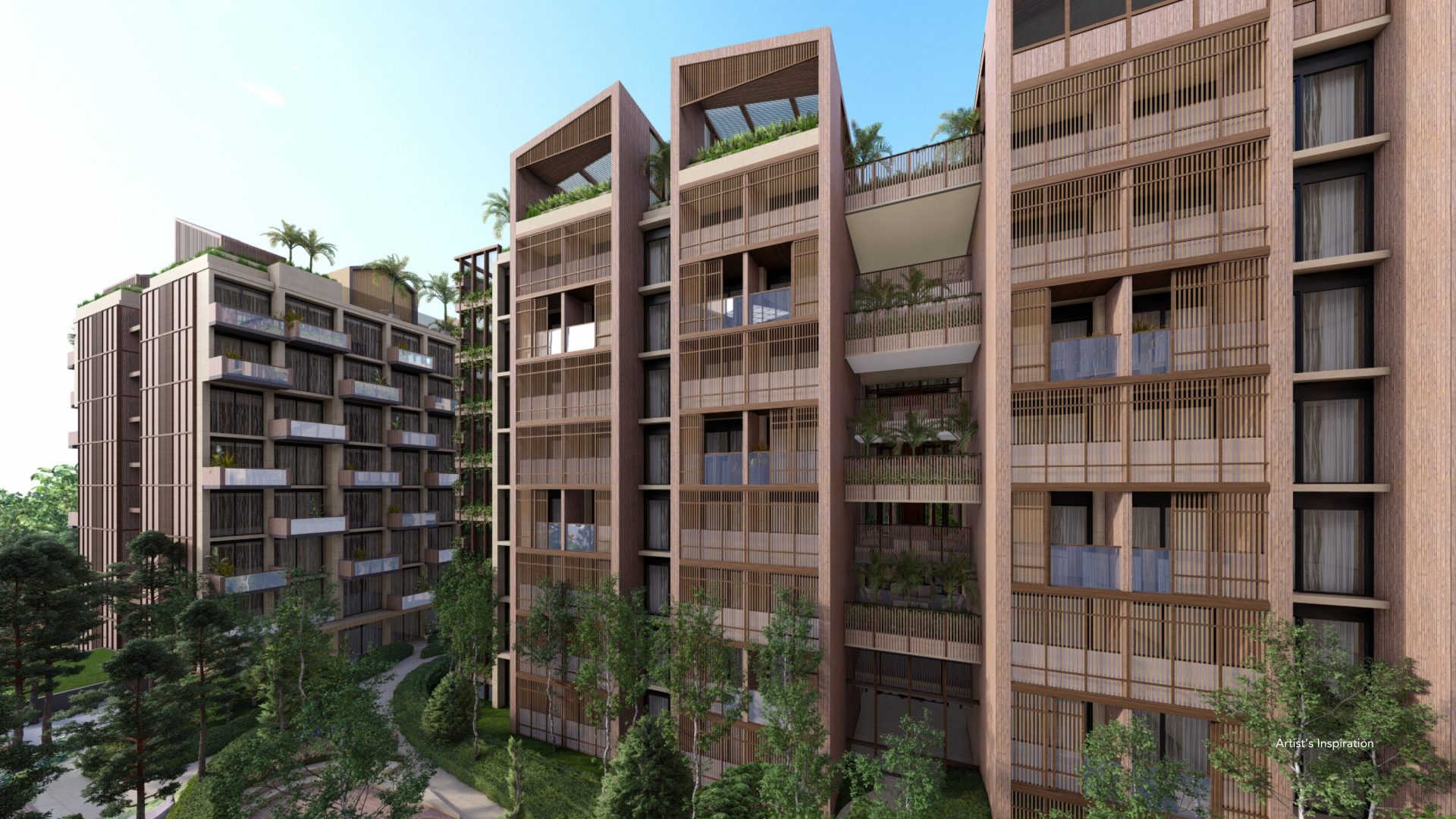
With its cool wind, magnificent views, fascinating attractions, and beyond compare accessibility, Baguio City is undoubtedly an amazing place to live. It is truly a place to dream and a place to call home. Discover the spectacular properties of Brittany in the ideal neighborhoods of Bern Baguio and take in the marvels of the Cordillera region while living in the city.
Suggested Read: Traffic Hotspots In Baguio To Avoid A Stress-Free Travel in 2023
Suggested Read: Philippine Highway Network: Everything You Need To Know
Suggested Read: New Spots To Visit In Evia Lifestyle Center
Suggested Read: Priority Projects Under PPP Confirmed
Suggested Read: Tagaytay City Ultimate Guide